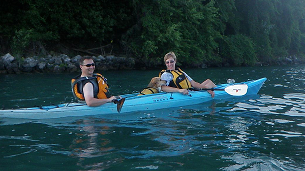
Our Trails
Making Connections
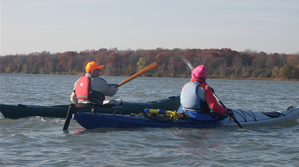
Detroit Heritage River Water Trail The Detroit Heritage River Water Trail is one of the Michigan's most dynamic and diverse water trails, traveling past the urban areas of downtown Detroit and the serene areas of the International Wildlife Refuge. The water trail is organized into four distinct paddling segments.
The Belle Isle/Detroit
Conversation Crescent Loop
Erie Metro North & South Launches to Pointe Mouillee
Flat Rock to Lake Erie
Grassy Island Loop
Grosse IIe Paddle Route
Handler Drain Loop
Hennepin Loop
Lake Erie Metropark Canals
CAUTION: Winds and waves in parts of the river can change often and may be dangerous. As with any paddling excursion, it is recommended that research be done to ensure that the water trail you are using matches your paddling ability.

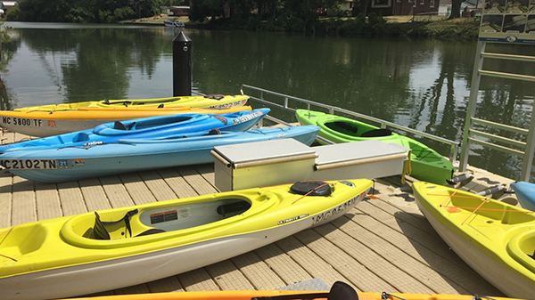
Our Routes
Get a more in depth access to our routes using our online maps and 360 Degree Route app!
Belle Isle Paddle Route
Segment travels around Historic Belle Isle, providing great views of the island (including the historic Detroit Yacht Club), the Detroit skyline and Canada.
Conservation Crescent Loop
A loop from GI Waterfront Park around Stony Island returning via the hole-in-the-wall.
Erie Metro North & South launches to Pointe Mouilee Loop
Lake Erie shoreline and canal water trail through nature preserves.
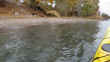
Flat Rock to Lake Erie
A nice river paddle to the lake. This is best accomplished one way.
Grassy Island Loop
A loop from the BASF Waterfront Park Launch (Pine Street Put-in) around Grassy Island and back.
Grosse Ile Paddle Route
This is a network of routes around various portions of Grosse Ile. These routes can be reached from a variety of access points either on Gl or on the mainland.
Handler Drain Loop
Elizabeth Park, around Humbug island and into the Handler Drain and back.
Hennepin Loop
A short loop from Wyandotte around Hennepin point, to the Gl Lighthouse returning by the channel between Hennepin point and Grosse Ile.
Lake Erie Metropark Canals
Short and easy paddle through the wooded and marshy area of Lake Erie Metropark.
Our Routes
Get a more in depth access to our routes using our online maps and 360 Degree Route app!
Belle Isle Paddle Route
Segment travels around Historic Belle Isle, providing great views of the island (including the historic Detroit Yacht Club), the Detroit skyline and Canada.
Conservation Crescent Loop
This loop starts at Lake Erie Metro Park and passes by many of the islands south of Grosse Ile.
Erie Metro North & South launches to Pointe Mouilee Loop
Lake Erie shoreline and canal water trail through nature preserves.
Flat Rock to Lake Erie
A nice river paddle to the lake. This is best accomplished one way.
Grassy Island Loop
A loop from the BASF Waterfront Park Launch (Pine Street Put-in) around Grassy Island and back.
Grosse Ile Paddle Route
This is a network of routes around various portions of Grosse Ile. These routes can be reached from a variety of access points either on Gl or on the mainland.
Handler Drain Loop
Elizabeth Park, around Humbug island and into the Handler Drain and back.
Hennepin Loop
A short loop from Wyandotte around Hennepin point, to the Gl Lighthouse returning by the channel between Hennepin point and Grosse Ile.
Lake Erie Metropark Canals
Short and easy paddle through the wooded and marshy area of Lake Erie Metropark.