Partners
Friends of the Detroit River and Downriver Linked Greenways have partnered with one another for more than twenty years. Since 1998, Downriver Linked Greenways has helped to facilitate over 100 miles of water and land trails in the Downriver Region of Metropolitan Detroit.
In 2019, Friends of the Detroit River became the fiduciary for the Downriver Linked Greenways to build capacity for non-motorized trail planning, design, and construction. The current trail network reaches within a half mile of every home and connects millions of residents to each other across Downriver.
The trails traverse over many different areas that include rural, urban, and over 7,000 acres of parkland. The Huron Clinton MetroParks, Wayne County Parks, Detroit River International Wildlife Refuge, National Water Trail Huron River, and Detroit Heritage River Water trail anchor our entire trail system.
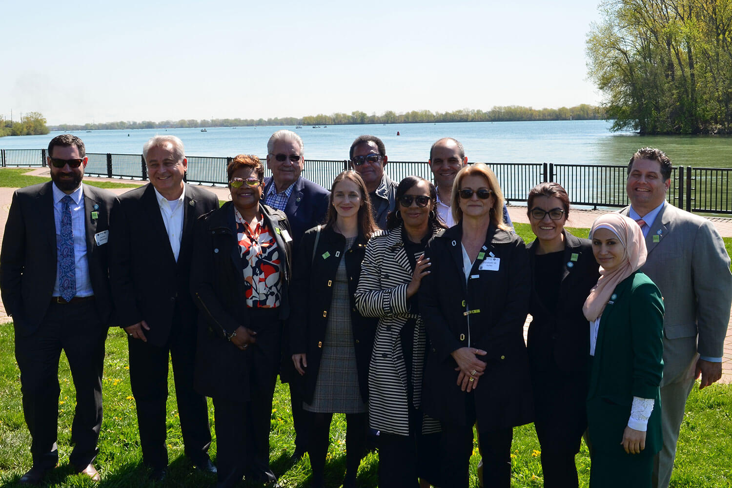
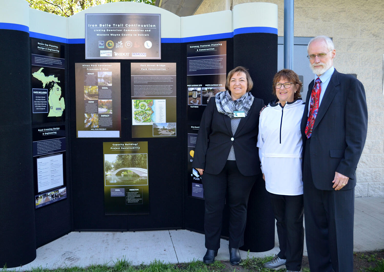
People we have worked with
Partner Communities
Master Plan
Our original plan was developed in 2000 through funding from numerous Downriver communities, Kodak and Rails-to-Trails, with assistance from Congressman John D. Dingell, State Representative George Mans, Downriver Community Conference and Michigan Sea Grant. The plan provides an overall vision for 21 communities in Wayne and Monroe Counties, distinguishes primary trail routes and local connectors, identifies potential funding resources and outlines project readiness criteria.
In 2008, a Master Plan Addendum was written to include updates on regional trail efforts and changes in funding resources since the original plan was written.
Wayfinding Manual
The Wayside Companion is offered to DLG cooperators who are developing their own wayside exhibit plan. It will help you determine if wayside exhibits are right for your project; how to define your interpretive themes, goals and objectives; how exhibits are fabricated and produced; and how to create the exhibits you want. The document also provides a template, color schemes and other DLG signage guidelines.
Downriver Delta Greenway Map
In 2008, the Fort-Visger Community Development Corporation created a map showing the linkages between the cities of Detroit zip code 48217, Ecorse, River Rouge and Lincoln Park on the North-South Connector of the Downriver Linked Greenways.
